|
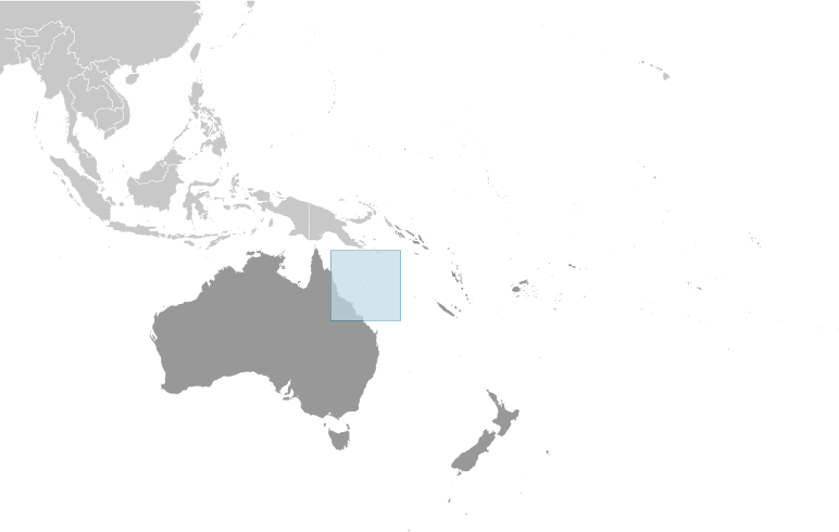
Australia-Oceania :: Coral Sea Islands
(territory of Australia)
|

|
|
|
 |
|||||
|
|
||||||
|
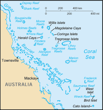
Scattered over more than three-quarters of a million square kilometers of ocean, the Coral Sea Islands were declared a territory of Australia in 1969. They are uninhabited except for a small meteorological staff on the Willis Islets. Automated weather stations, beacons, and a lighthouse occupy many other islands and reefs. The Coral Sea Islands Act 1969 was amended in 1997 to extend the boundaries of the Coral Sea Islands Territory around Elizabeth and Middleton Reefs.
| |
|
Oceania, islands in the Coral Sea, northeast of Australia
|
|
|
18 00 S, 152 00 E
|
|
|
Area:
|
|
|
total: less than 3 sq km
country comparison to the world: 249
land:
less than 3 sq km
water:
0 sq km
note:
includes numerous small islands and reefs scattered over a sea area of about 780,000 sq km with the Willis Islets the most important
|
|
|
NA
|
|
|
0 km
|
|
|
3,095 km
|
|
|
territorial sea: 3 nm
exclusive fishing zone:
200 nm
|
|
|
tropical
|
|
|
sand and coral reefs and islands (or cays)
|
|
|
lowest point: Pacific Ocean 0 m
highest point:
unnamed location on Cato Island 6 m
|
|
|
NEGL
|
|
|
arable land: 0%
permanent crops:
0%
other:
100% (mostly grass or scrub cover) (2011)
|
|
|
0 sq km (2011)
|
|
|
occasional tropical cyclones
|
|
|
no permanent freshwater resources
|
|
|
important nesting area for birds and turtles
| |
|
no indigenous inhabitants
note:
there is a staff of three to four at the meteorological station on Willis Island (July 2007 est.)
| |
|
conventional long form: Coral Sea Islands Territory
conventional short form:
Coral Sea Islands
|
|
|
territory of Australia; administered from Canberra by the Department of Regional Australia, Local Government, Arts and Sport
|
|
|
the common law legal system of Australia, where applicable, applies
|
|
|
none (territory of Australia)
|
|
|
none (territory of Australia)
|
|
|
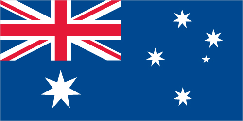
the flag of Australia is used
| |
|
no economic activity
| |
|
automatic weather stations on many of the isles and reefs relay data to the mainland
| |
|
none; offshore anchorage only
| |
|
defense is the responsibility of Australia
| |